Tour de Korea - Japan 2008
Virtual Earth Blog Tags: Enterprise/Government Solutions
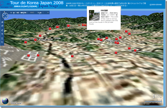
I found the Tour de Korea - Japan 2008 Virtual Earth Mashup on the KGrand blog which actually has quite a few Virtual Earth Mashups for Japan. I wanted to call this one out because of it's timeliness with the race in just a week! The application highlights different points in the race which need to be maneuvered. The screenshot below shows the application in 3D with the Aerial map style enabled. By default, you get 2D roads with custom icons.
According to the site:
"It is a course chart of international bicycle road racing rally tour de korea japan japan stage done in Yamaga City on Saturday, June 21 and Sunday, the 22nd.
The individual time trial is done in the Yamaga City culture sportscenter on the 21st and the Kikuchi castle start and the road racing of the hill goal of the apricot of 178 kilos in the time of surroundings course are done on the 22nd.
It actually runs in the course, and the image of which it takes a picture with each point can be seen. "
I love to see our Japan maps and data put to good use.
CP