CSI:NY using Photosynth
If you watch any of the flavours of CSI you'll probably get a kick out of this article which describes how the show's forensic scientists attempt to recreate a crime scene using hundreds of photos taken from a camera phone. The technology used to stitch them together? Photosynth.
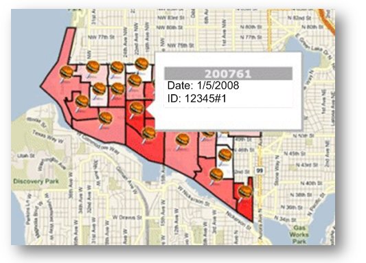
What about using geospatial data types in SQL 2008 to map out all the crime scenes and overlay them on Virtual Earth, a la:
Or maybe Mapcruncher to overlay an aerial view with custom info? Or...? Could be fun ideas to play around with, maybe I'll give it a whirl...