Spatial Data and now the Spatial Wiki
A long time ago I came up with a simple web site that allows you to draw features on a Virtual Earth map and generate the SQL statements required to store those features in using Sql Server 2008's spatial data support (and it can do the reverse, ie give it some WKT (Well Known Text) string and it will render it on a Virtual Earth map).
It's been very popular and lots of people use it in demos and every now and then someone mails me to say it's been useful etc. In fact that happened today when Alastair Aitchison mailed me to say he was writing a book entitled "Beginning Spatial with SQL Server 2008". In it, he intends to write about building your own web page using Virtual Earth as a drawing canvas to mark out features, something inspired by my spatial data generator. Very gracious of him to drop me a note and tell me about it.
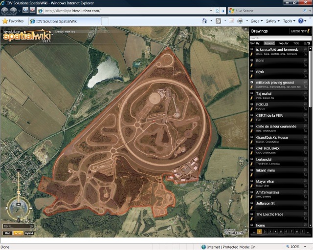 What really caught me eye though was the link Alastair included to SpatialWiki (https://silverlight.idvsolutions.com/) a collaborative site to create, store, and share geographic information. Not only does this site use Silverlight 2 and Virtual Earth, it's also using cloud storage in the form of SQL Data Services. And it's very cool. You can read more about it in the press release here.
I also loved this quote from their article Five Questions About IDV's SpatialWiki Beta
"Best of breed user experiences (UX) often make the difference between an application that gets used or doesn't. Silverlight is a great technology for allowing rich, dynamic UX that users enjoy working with and find easy to understand.
From a technical, geospatial standpoint, Silverlight allows for an order of magnitude greater number of vector nodes than AJAX; for example, where an AJAX map slows down significantly when you render 100-200 points concurrently, Silverlight allows for thousands of points."
Technorati Tags: sql,spatial,silverlight,virtual earth


