Some Cool Tools for SQL Server Spatial
Hi Folks,
I'm finally getting back in the rhythm of things after the hollidays. While I work on my next spatial indexing post, I thought I'd highlight a few very cool tools that people have built to work with SQL Server Spatial.
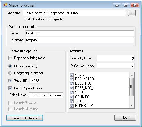
Morten Nielsen has put together a couple nice utiliites. The first let's you load Shapfiles directly into a SQL Server table, and there's a great deal of data in Shapefile format. E.g., I was able to very easily read in census block group data through Morten's loader. This is really a breeze: you point it at your instance, turn a few simple knobs, and away it goes:
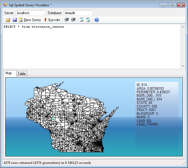
Once the data is loaded, you can paste in a SQL query and use Morten's other utility to view it.
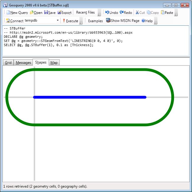
Craig Dunn has also been working on some nice visualizations. His Geoquery application can execute spatial queries against SQL Server and display their results. It also includes a really nice set of examples that demonstrate various spatial operations. E.g., here's a buffer:
Right now, the geography representations aren't quite right---they map edges to lines on the plane rather than great circles---but it looks like this is due for a fix in v0.7. I can't wait!
Cheers,
-Isaac