GeoWeb 2008 Conference Dinner Cruise Photos (and SQL Server 2008 Spatial ;-)
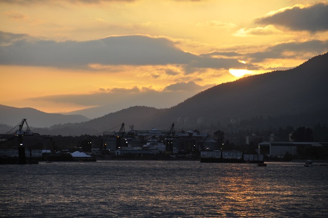
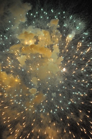
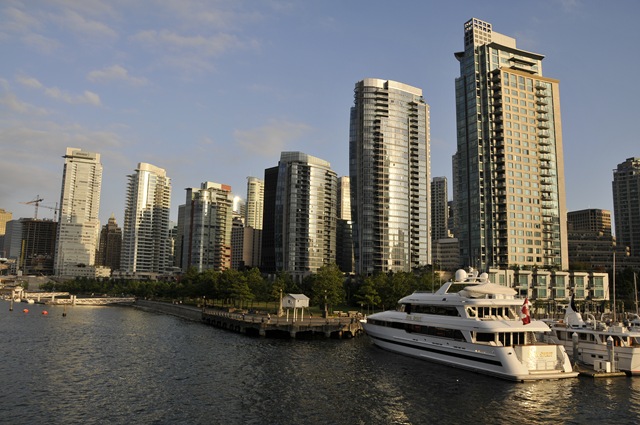 On the Wednesday night GeoWeb 2008 dinner cruise around Vancouver harbor, several folks who had forgotten their cameras (and 1 who had broken their camera) noted that I was busy taking photos and asked if they could be made available. I am happy to report that I have successfully uploaded the photos to my Skydrive account. There you will find 13 zipped archives, each containing approximately 7 to 8 images (GW-1.zip,...,GW-13.zip). Why 13 zip archives, you ask? Because Skydrive does not allow any single file to be over 50 megabytes in size. The 94 images I took vary in size from 4.96 to 7.70 megabytes each, for a total size of 590 megabytes - thus the need for 13 archives. In the interest of time, I did not perform any significant editing, removing only the obvious duds – camera shake on a couple and some “misses” during the fireworks display.
 I just put up another folder containing the individual photos, if you want to browse before downloading the archives or if you just want a few images.
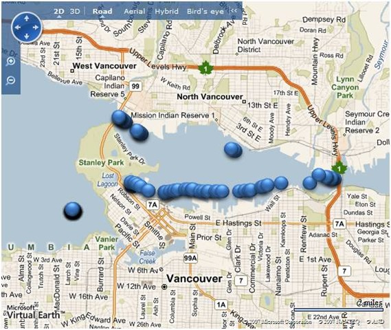
 The last question might you ask is how these images could possibly relate to SQL Server 2008 Spatial? Easy - each image has the latitude and longitude (or longitude and latitude, depending on your persuasion…) and UTC time encoded in the EXIF image metadata. This was accomplished through the use of my di-GPS equipped Nikon D300 camera. Back at the hotel room, I loaded the dinner cruise images into SQL Server 2008 (Geography data type for image location, DateTimeOffset data type for date/time/time zone, varbinary(max) data type with FileStream option for the image itself and I used the Sparse Columns option for the plethora of GPS-related data columns). With the location and image data for each photo in SQL Server 2008, Virtual Earth was used to display the location of the images:
Enjoy.
Technorati Tags: GeoWeb 2008,Photos